


- Research Area
- Research Directions
- Research Outcomes
- Awards & Achievements
- Laboratories
- Cadastre Survey Laboratory
- Digital Cartography Laboratory
- Laboratory for Geographic Information Systems
- Geomatics Computing Laboratory
- Hydrographic Surveying Laboratory
- Navigation Laboratory
- Photogrammetry and Robotic Vision Laboratory
- Laboratory for Smart City and Spatial Big Data Analytics
- Survey Store and Instrumentation Laboratory
- Underground Utility Survey Laboratory
- Laboratory for Deformation and Geohazards Studies
- Remote Sensing Laboratory
- Research Centres
- Postgraduate Programmes
Laboratory for Geographic Information Systems
The Laboratory for Geographic Information Systems serves teaching and research in this University, related to Geographic Information Science and Systems (GIS), from spatial data capture, process, query and analysis, to geo-visualization. The Lab is equipped with the following hardware and software:
I. Hardware
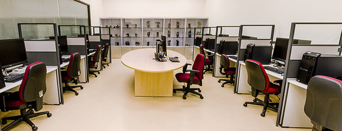
There are 10 workstations in the Lab. The workstations are Lenovo ThinkCentre M93p PC configured with Intel i7 CPU, 32GB DDR3 RAM, dual 512GB SSDs, and NVIDIA Quadro 410 graphics card. Each workstation is connected to a 27" high quality LED monitor. These workstations are linked through high-speed network.
II. Software
- General Software: Microsoft Windows 7 Enterprise Edition, Microsoft Office Professional, Minitab, Matlab, Star*Net (demo version), Leica GEO Office, and NetBeans IDE
- GIS: ESRI Arc/Info and ArcGIS, SuperMap, QGIS and IDRISI Taiga Student Lab Kit
- Remote Sensing: ER Mapper, Erdas, PhotoModeler and Orthmaker
- BIM: Autodesk Revit and Autodesk Navisworks
- CAD: MicroStation, AutoCAD, and Bentley InRoads Suite
A number of GIS research projects have been conducted with the support of this Lab, including,
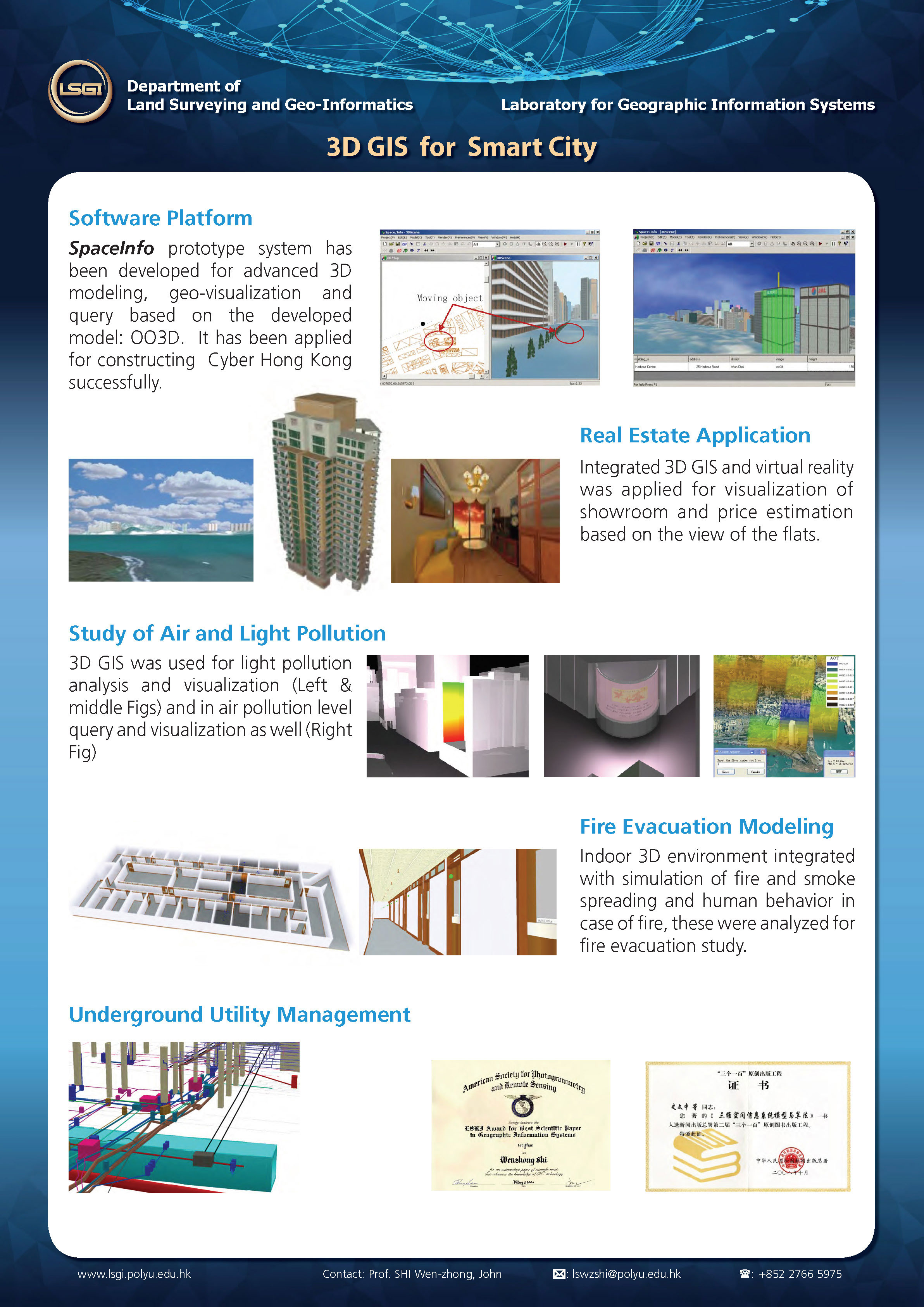
- 3D GIS for Smart City. Advanced 3D modelling, together with geo-visualization and query based on a developed Object-oriented 3D GIS model has been realized on a software prototype. By integrating virtual reality technology, 3D GIS has also been applied to the field of real estate. Additionally, based on the 3D GIS model, air and light pollution and fire evacuation have been modeled and analyzed. Smart city models including underground utility management have been constructed by employing 3D GIS technology in the Lab.
- Uncertainty modelling and quality control for spatial data. Principles of modelling uncertainty in spatial data and spatial analyses have been proposed and developed. This research has been highly recognized worldwide. This research has been applied to many areas, including the major project of 1st National Geographic State Monitoring in China; data quality model and data quality assessment standard for GIS data in Macao and Hong Kong; data quality assessment solutions for basic LiDAR data and 3D road data extracted from LiDAR in Hong Kong; and also an innovative data quality evaluation method for spatial big data.
- Spatial big data analytics and mining. A variety of spatial monographic studies have been conducted with strong technical support from emerging spatial big data analytics and mining technology in the Lab. From health care studies to regional economic analysis, from water mains failures to national geographic state monitoring, people's livelihoods and national geographic conditions have been analyzed and predicted in space and time, thus providing strong support for future decision making.
- GIS data capture from high resolution satellite images and LiDAR data. Several new methods in remote sensing technology have been invented for the capture of GIS data. These methods have guaranteed and improved the reliability of output products ensuring accurate object extraction (road, building and boulder), image classification and change detection based on high resolution satellite images and automatic 3D road modelling from LiDAR data.