-
Project Details
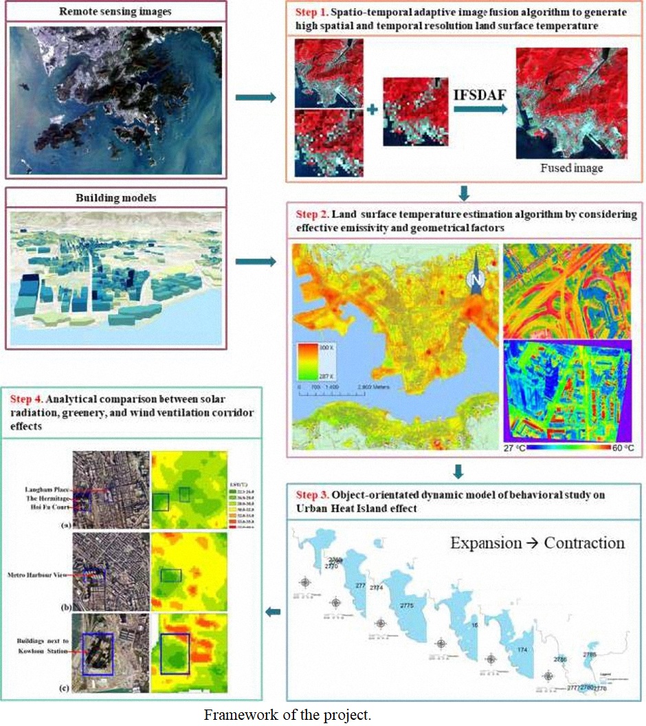
This project contains three major parts: (1) spatiotemporal data fusion, (2) time-series anthropogenic heat generation and (3) pattern analysis of time-series anthropogenic heat.
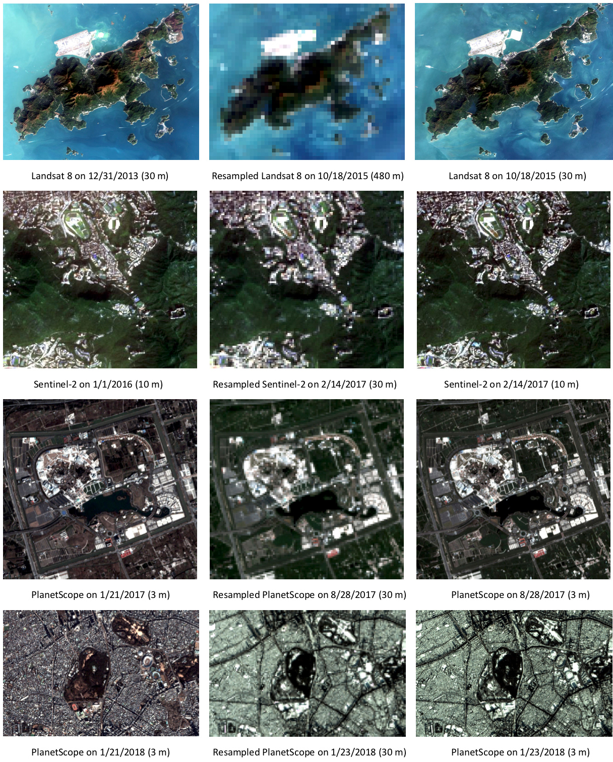
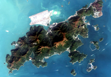
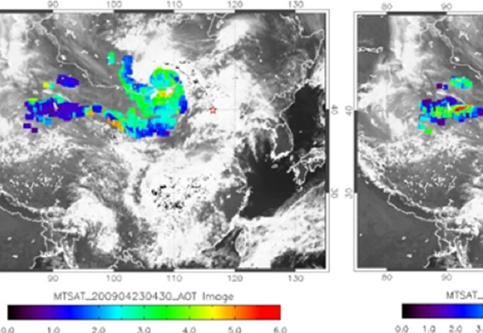
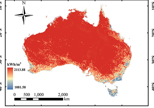
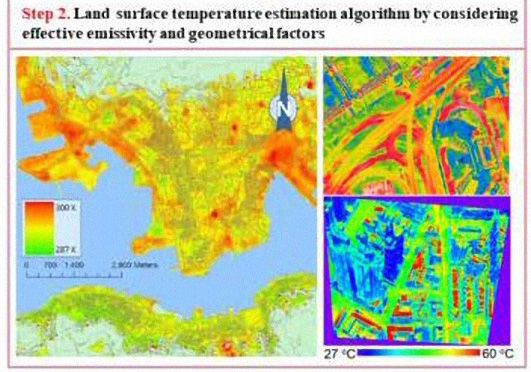
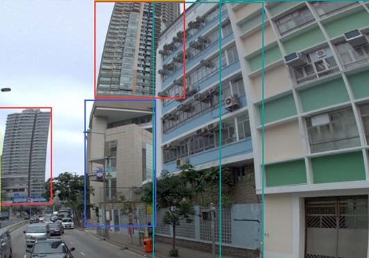
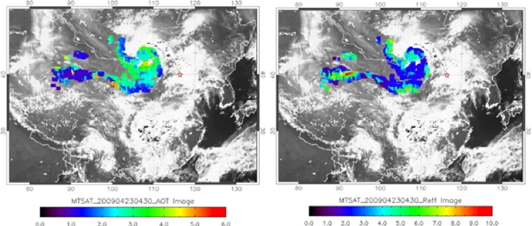
First, geostationary satellite images will be collected as the data source in generating time-series anthropogenic heat map. However, as the tradeoff for frequent observation, the spatial resolution of geostationary satellites is usually low. Therefore, enhancement of spatial resolution for geostationary satellites is needed and this drives to the research of spatiotemporal data fusion. Spatiotemporal data fusion is about improving the spatial resolution of the coarse images by using the information from fine images (from other satellites) over the same area.
Second, time-series anthropogenic heat images with fine spatial resolution will be produced. They are derived from the enhanced satellite images, with using the energy balance equation. A number of meteorological parameters such as water vapor will also be collected to assist the calculation of anthropogenic heat.
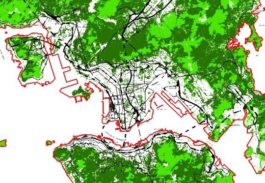
Third, the derived anthropogenic heat images will be used in different kind of spatiotemporal analysis. For example, illustrating the diurnal pattern of anthropogenic heat; understanding the autocorrelation between anthropogenic heat and different heat source parameters; and investigating any difference between seasonal anthropogenic heat, etc.
-
Acknowledgement
This project was supported by the grant of Early Career Scheme (project id: 25201614) from the Research Grants Council of Hong Kong; the grant 1-BBWD from the Research Institute for Sustainable Urban Development, the Hong Kong Polytechnic University; and the grant G-YBU3 from the Hong Kong Polytechnic University.
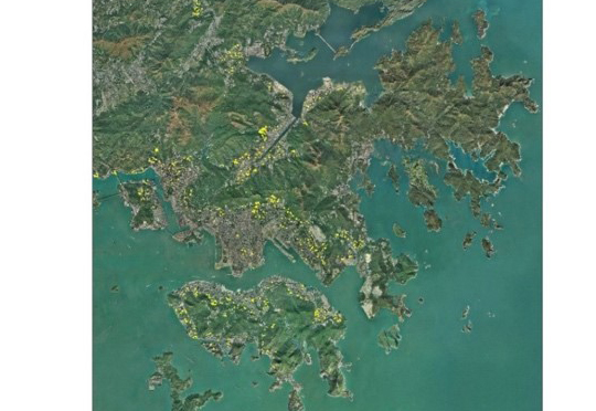
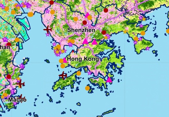
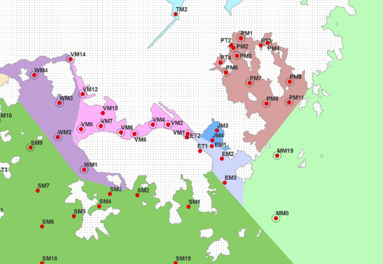
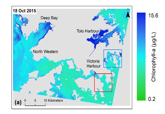
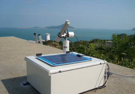
Estimating Time-series of Anthropogenic Heat Flux at City Scale, Based on Spatio-temporal Geostationary and Sun-synchronized Satellite Observations
This is a project estimating the time-series anthropogenic heat flux over the Hong Kong area by using both geostationary and sun-synchronized satellite images. The derived anthropogenic heat product can assist better understanding of the cause and effect of urban heat island (UHI) in our city.
Other Research Projects


Copyright © 2018 - 2022.Remote Sensing Laboratory, The Hong Kong Polytechnic University. All rights reserved.