-
Project Details
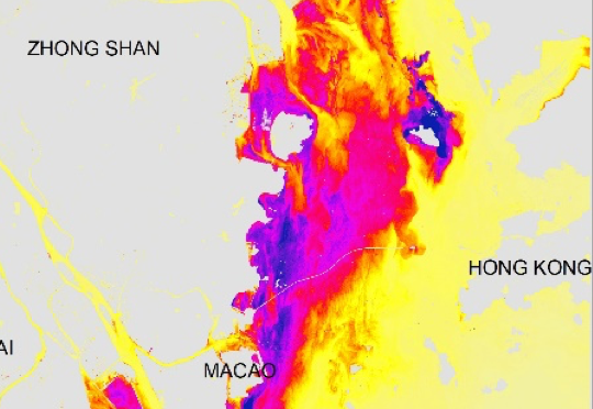
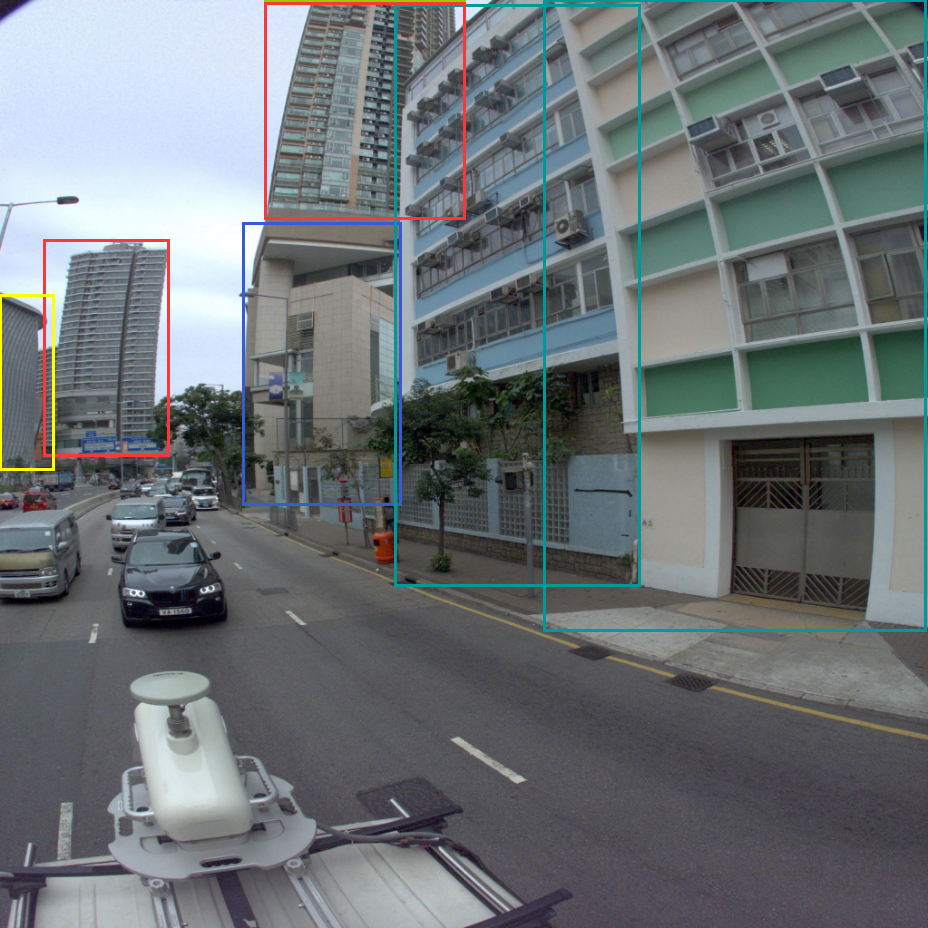
The IPCC, in its Fifth Assessment Report expresses high confidence that climate change will be a powerful stressor on human health in the second half of 21st century. The increasing intensity of Urban Heat Island (UHI) has the potential to radically increase this stress. Despite many studies in recent decades, there is still no comprehensive method to analyze its dynamic pattern and behavior. This proposal uses Hong Kong as a testbed to demonstrate the feasibility of dynamic thermal modeling for the urban environment. This will support the Hong Kong Government’s recent policy framework of the “Hong Kong 2030+” scheme. This research will also address an urgent need of mitigating the increasing thermal discomfort in Hong Kong.
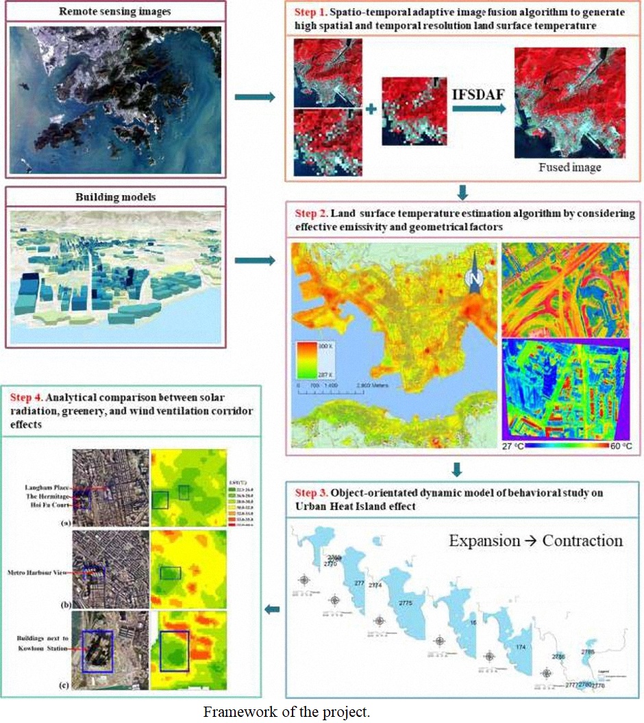
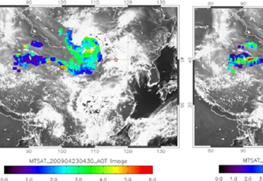
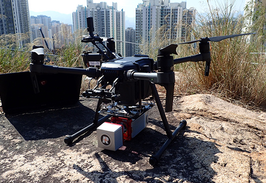
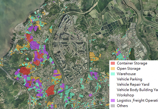
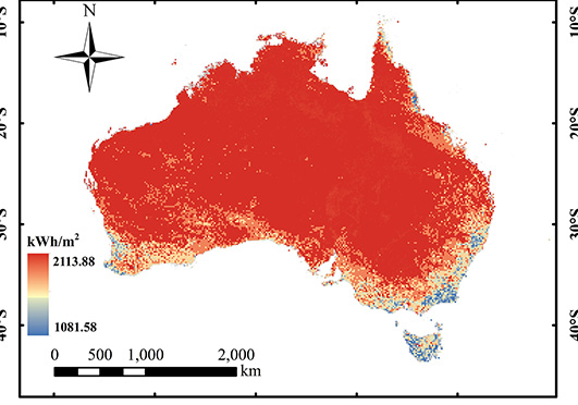
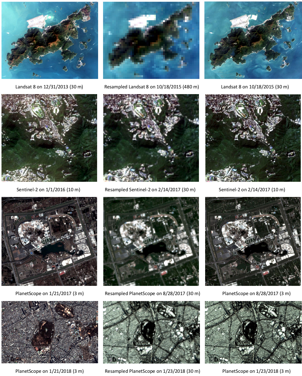
The research team proposes to develop a dynamic model for estimating the UHI effect across Hong Kong. It builds on our earlier studies based solely on sun-synchronized satellite images and sparsely distributed weather station data. The proposed study aims to develop an integrated knowledge-based dynamic model for land surface temperature estimation using remote sensing techniques and modeling the life cycle of the UHI effect using GIS modeling. This project will be conducted in four-folds: (i) derive the thermal radiance images on an hourly basis with high spatial resolution, using spatio-temporal adaptive algorithms from sun-synchronous (i.e. ASTER, Landsat) and geostationary satellite images (i.e. Himawari-8 AHI); (ii) advance land surface temperature estimation by considering effective emissivity and geometric factors; (iii) analysis of the life-cycle and behavior of UHI using object-orientated dynamic model; and (iv) analytical comparison of derived land surface temperature with solar radiation, greenery, and building geometric effects using ancillary data.This study will fill a research gap of lacking a methodology to understand the evolution of UHI phenomenon at both high spatial and temporal resolution. The results and possible scale-up method will address the needs from a recent paper in Nature (Manoli et al., 2019) for analyzing the UHI at global scale.
This study will provide a scientific basis of the dynamic pattern of UHI effect for the Government’s recent “Climate Action Plan 2030+” which aims to alleviate the UHI effect and improve the urban climate with a set of urban planning strategies under urban renewal schemes. The research team has a track-record in thermal remote sensing, GIS modeling, landscape, and planning analysis.
An integrated knowledge-based Remote Sensing and GIS dynamic model for the urban thermal environment


