|
In the past decade, the
prosperous Mars and Moon exploration programs manipulated by the
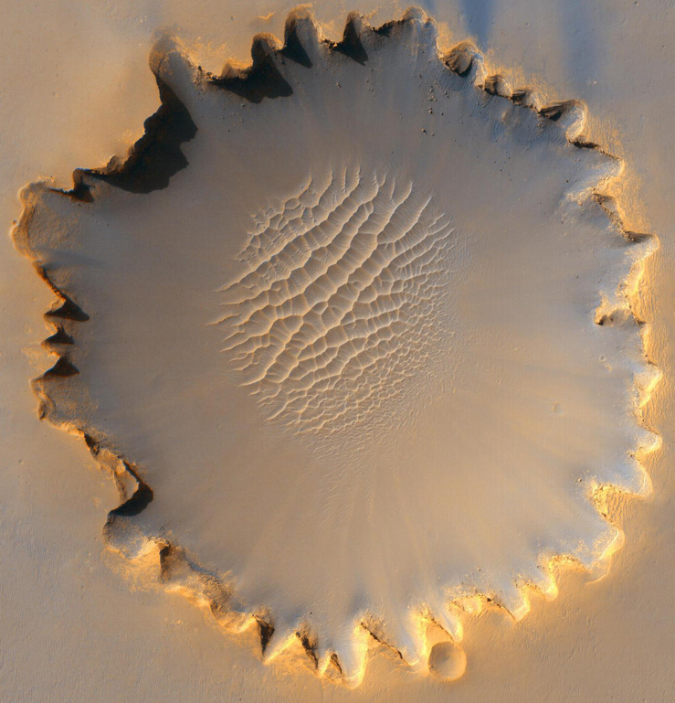
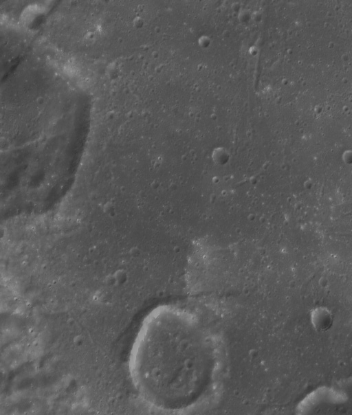
United States and China as well as other countries returned huge
amount of ground and orbiter images of the Mars and Moon surface. 3D
terrain reconstruction from these images is extremely important for
scientific investigation, safe landing, and mission operations on
these extraterrestrial bodies. Reliable image matching is an
essential and difficult task in terrain reconstruction. Possible
problems from geometric distortions, illumination changes, and scale
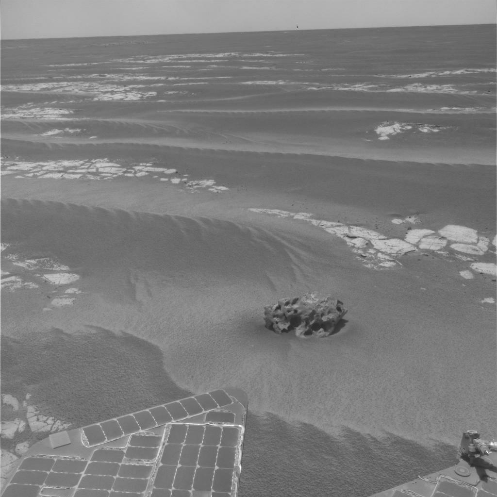
changes will result in matching ambiguity. In particular for Mars
and lunar surface imagery, it is more difficult to obtain reliable
matching results due to their nature terrain features, such as
homogenous textures and similar texture patterns seen in sand dune
areas. The up-to-date photogrammetric software systems for image
processing are not automatic and require a lot of human interactions
due to the limitation of image matching.
In this project, we will
develop innovated image matching strategies for reliable terrain
reconstruction of Mars and Moon. Project
objectives include:
1) Development of an improved self-adaptive
image matching method to enhance the matching reliability for
difficult cases in Mars and Moon ground/obiter image matching; and
2) Development of a hierarchical image matching
strategy to improve the reliability and efficiency for Mars and Moon
obiter image matching.
The developed methods and
strategies will enable high automation, efficiency, and reliability
of the Mars and Moon terrain reconstruction from obiter and ground
images. The research project will contribute to the advancement of
the science and technology of planetary mapping. |