
Ground Sampling Data Collection for LULC |
The Land Utilization Map of Hong Kong (LUM HK) is updated annually by the Planning Department of Hong Kong employing Geographical Information Systems (GIS) and Remote Sensing (RS) technologies. The seven classes covering the non-built-up areas of Hong Kong in LUM HK include: Woodland, Shrubland, Grassland, Mangrove and Swamp, Mudflats, Badland, and Rocky Shore. This project was carried out between December 2015 and April 2016 in order to facilitate updating of LUM HK in 2015. The training areas and validation areas were selected from different schemes, e.g.
Samples of land classes can be obtained by aerial photo interpretation (API). Eight basic characteristics for interpretation were proposed, including shape, size, pattern, tone (or hue), texture, shadows, site and association (Olson, 1960).
| Characteristics | Description |
|---|---|
| Shape | Shape refers to the general form, structure, or outline of individual objects. Shape can be a very distinctive clue for interpretation. |
| Size | Size of objects on an image is a function of scale and must be considered in the context of the image scale. |
| Pattern | Pattern refers to the spatial arrangement of visibly discernible objects. Typically, an orderly repetition of similar tones and textures will produce a distinctive and ultimately recognizable pattern. |
| Tone | Tone refers to the relative brightness or color of objects in an image. Generally, tone is a useful fundamental element for distinguishing between different targets or features. |
| Texture | Texture refers to the arrangement and frequency of tonal variation in particular areas of an image. Rough textures consist of a mottled tone where the grey levels change abruptly in a small area, whereas smooth textures have very little tonal variation. An example is the smooth texture of green grass as contrasted with the rough texture of green tree crowns on medium-scale aerial photographs. |
| Shadow | Shape or outline of a shadow provides an impression of the profile view of objects. Relative height of a target may make identification easier. |
| Association | Association considers the relationship between other recognizable objects or features in proximity to the target of interest. |
| Site | Site refers to topographic or geographic location and is a particularly important tool to identify vegetation types. For example, certain tree species are expected to occur on well-drained upland sites while some other tree species occur on poorly drained lowland sites. |
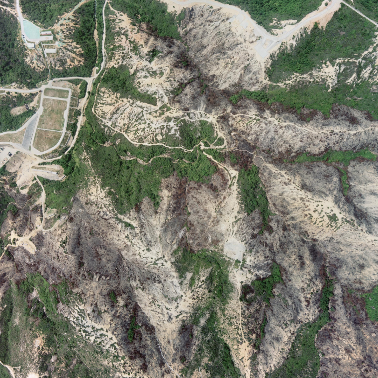
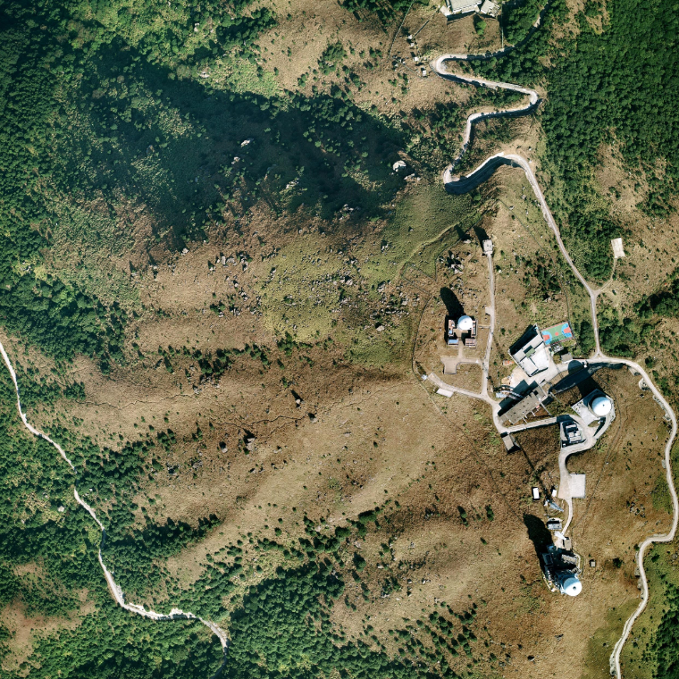
In the process of selecting training sites, users are always recommended to use DOP together with the updated aerial photos. API can be implemented by reviewing the most updated aerial photos of every site in GIH. Examples of seven land classes will be described based on their characteristics.
| Land Cover | Digital Orthophoto | Aerial Photo |
|---|---|---|
| Rocky Shore | 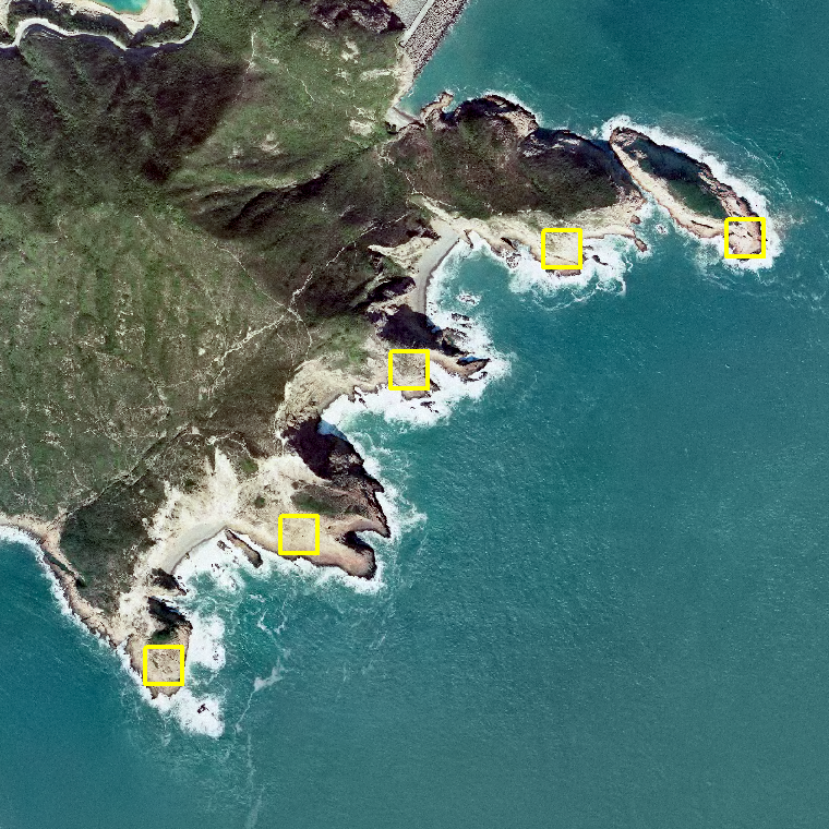 |
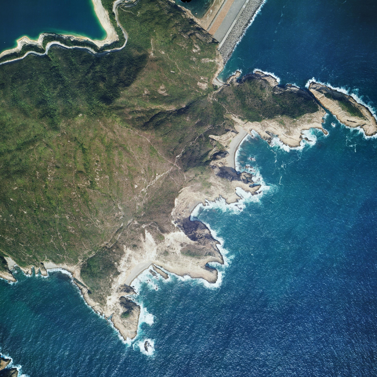 |
| Mangrove and Swamp & Mudflat |
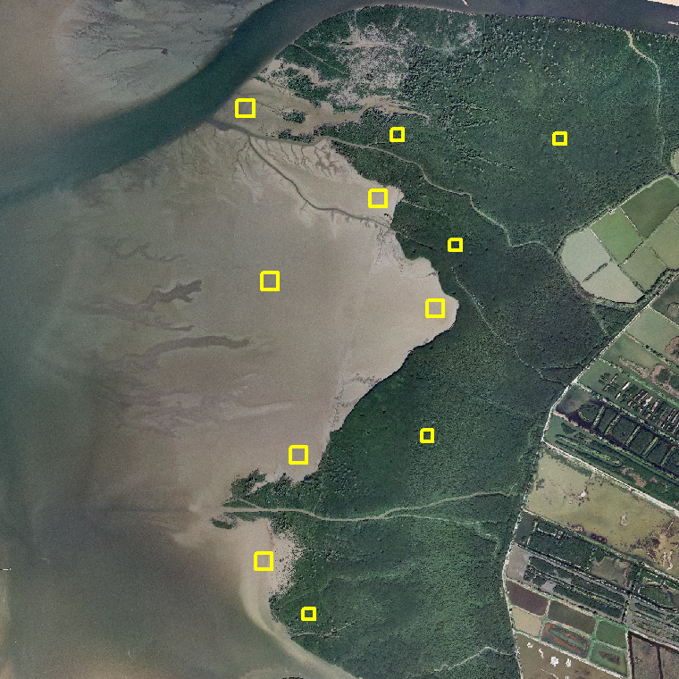 |
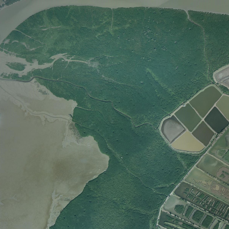 |
| Badand |  |
 |
| Grassland | 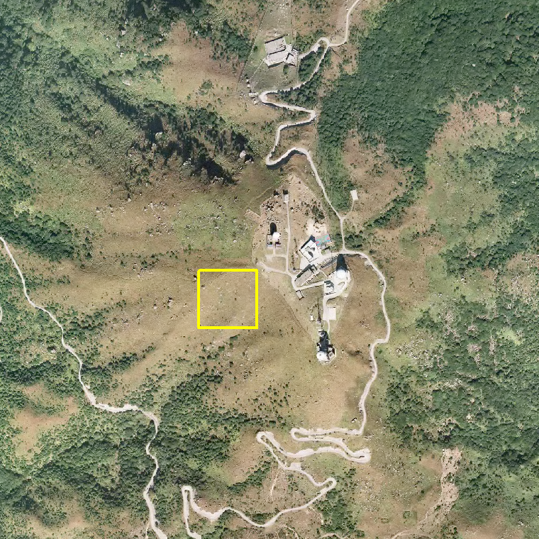 |
 |
| Grassland & Shrubby Grassland |
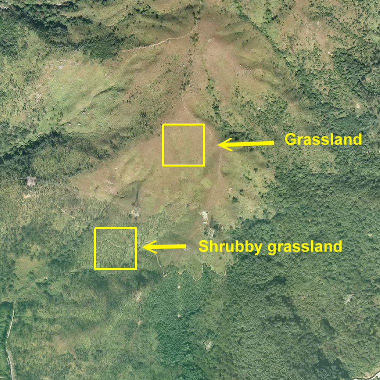 |
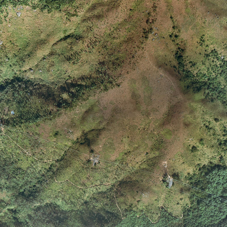 |
| Shrubland & Woodland | 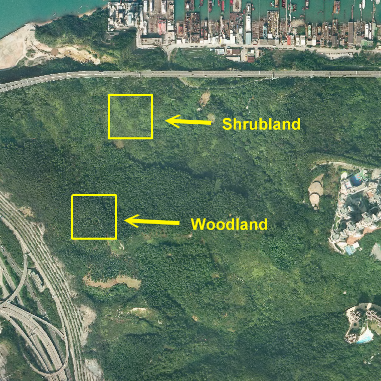 |
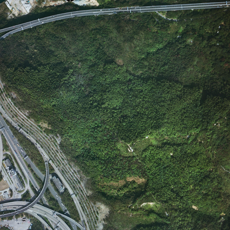 |
Field work was carried out to collect the ground sampling data in the areas of training sites. Using two different types of radiometers (CROPSCAN Multispectral Radiometer measuring 14 wavelengths and Hyperspectral UV-VIS Irradiance Sensor measuring up to 256 wavelengths), the ground sampling data were collected in five classes: Woodland, Shrubland, Grassland, Mangrove and Mudflats. The sampling data were collected using two different types of radiometers during the field works. GPS measurements were carried out at the same time in order to record the coordinates of recorded radiometer readings.
RAMSES-ACC-VIS hyperspectral radiometer: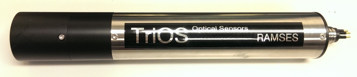 |
TriBox: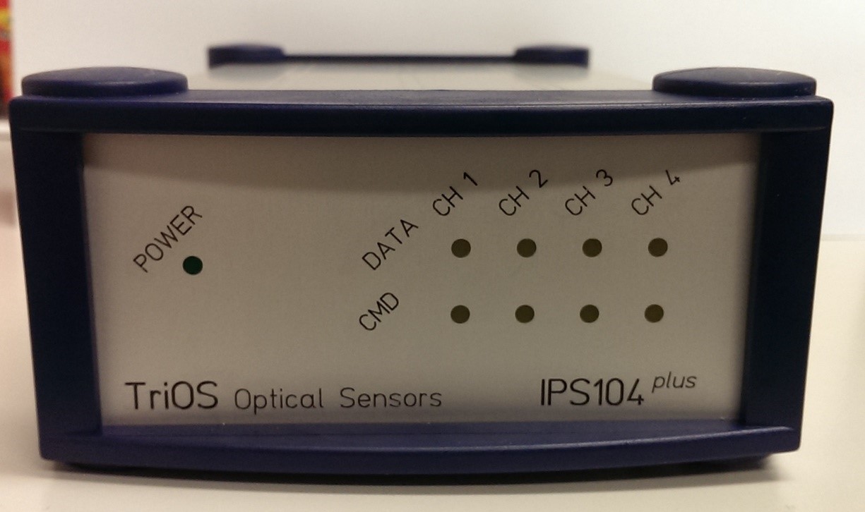 |
CROPSCAN Multispectral Radiometer: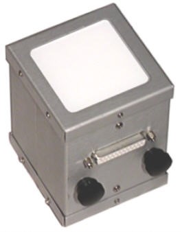 |
This consultancy project (“Provision of Service on Ground Sampling Data Collection to Facilitate Land Use Classification and Validation for the Updating of the Land Utilization Map in Hong Kong”, project id: PLNQ 65/2015) is funded by the Planning Department of Hong Kong.
Courtesy to the Lands Depatment of Hong Kong for the aerial photographs.