
Solar Model |
Solar radiation is an important factor of generating the electricity in PV system. It results from the complex interactions of energy between the atmosphere and the surface (Hofierka et al., 2002). The amount of incident solar radiation significantly affects the electricity produced by PV systems. The energy of solar radiation varies greatly due to the refraction and scattering of aerosols, water vapour contents, and air particulates. At global scale, the geometry of the earth and its rotation above the sun determines the latitudinal gradients radiations. At local scale, the solar radiation map depends on the surface terrain (Hofierka et al., 2002). The variation in elevation, slope, aspect and shadowing effect cause significant deviation of solar radiation. Different methods can be used to estimate the solar radiation according to the required scale and accuracy.
The Solar Analyst was selected in this study to estimate the solar radiation of unused areas on rooftop and unused open space areas. The Solar Analyst generates a hemispherical viewshed for every location according to the input DSM and DEM data (Rich, 1989; 1990). The isolation on each location is calculated using the hemispherical viewshed in order to derive the solar radiation map (Fu and Rich, 2000). The latitude and elevation, surface orientation, shadow casting by surrounding topography, daily and seasonal shift of solar angle, and atmospheric attenuation are taken account in the estimation (Fu and Rich, 2000).
A 3 x 3 median filter was firstly implemented using the DSM and DTM data. It was used to remove the noise from models, especially for the extreme values. The pixels were aggregated and thus the internal variation inside 3 x 3 kernel could be reduced. This filtering process worked on non-continuous data, such as edge of buildings which were not supposed to install PV arrays.
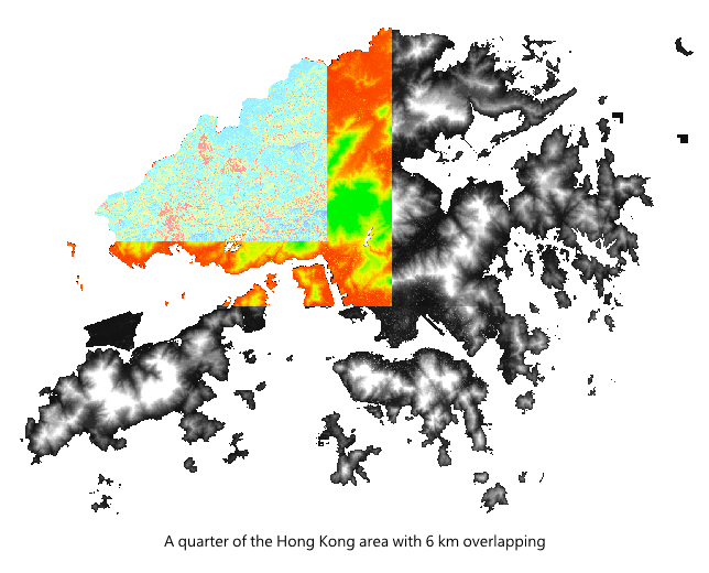
Since the size of entire Hong Kong DSM data is too large and difficult to be processed in ArcGIS, the DSM data were divided into 4 parts with 6 km overlapping areas in both easting and northing coordinates. And the resolution of the input DSM was downscaled to 3 m. After calculation, the output solar radiation raster could be resized to 1 m.
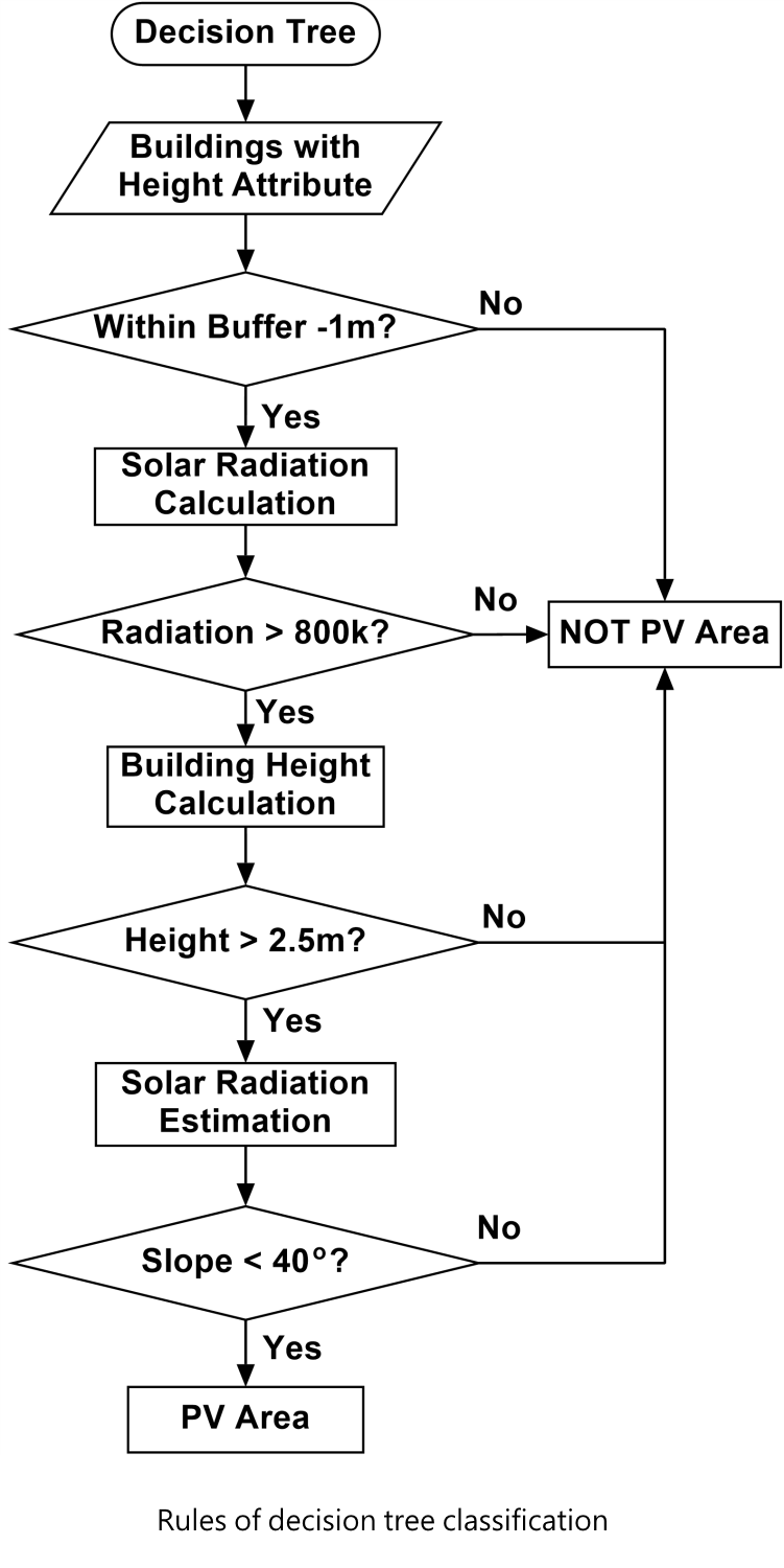
There are several criteria for selecting the optimal locations of installing PV arrays. High resolution LiDAR data were used to map the unused building rooftop areas and open space areas. To acquire maximum amount of annual solar energy from solar irradiation, the most appropriate locations for installing solar panels were then selected. The considerations include: solar access, titling angle of the PV panel on the rooftop, location of the building, and building type. A decision tree classification was used to classify the rooftops which were appropriate for the deployment of PV arrays.
Hence, solar analysis output was adopted with the following criteria:
(1) Ground mask: to ensure that the building pixels are only included
(2) Barrier mask: a 1 m buffer is adopted to filter four sides (barriers) of building
(3) Shadow mask: an entire year solar radiation is generated and 800 kWh/m² is adopted as a threshold to filter shading areas on rooftops
(4) Slopes of roof surface should be between 0° and 40°
(5) Area mask: the minimum area is about 3 m²
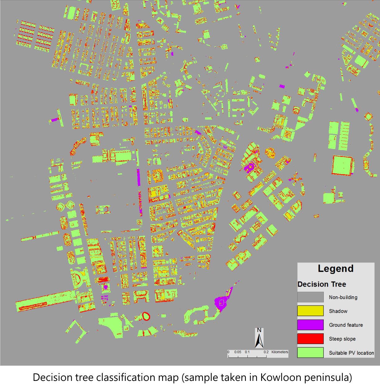
After defining the above criteria, a decision tree classification was applied to classify the appropriate areas for PV deployment. The decision tree classification adopts a one-time process by applying all the criteria simultaneously. Furthermore, the classification result can also be used for error analysis.
The photovoltaic effect is a basis of conversion from light energy to electrical energy in photovoltaic cells (Hersch, 1982). The PV cells are made of semi-conductors materials including silicon (Si), gallium arsenide (Ga-As), copper indium diselenide (CI-S), cadmium telluride (Cd-Te), and a few other materials (Svantesson and Linder, 2012). A voltage is produced as the built-in potential barrier in the cells acts on the free electrons. This voltage is used to drive the current along a circuit (Hersch, 1982). The theoretical maximum efficiency of a single junction PV cell is less than 25% (Messenger et al., 2007). Based on the inconstant insolation for each particular location, the PV modules can generate various output powers.
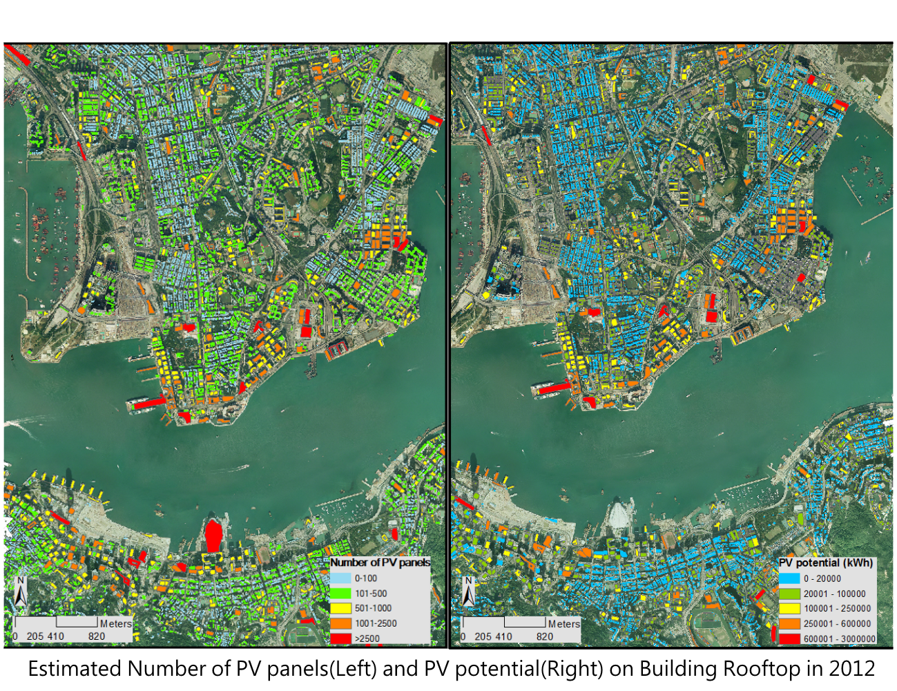
After a series of calculation, the solar photovoltaic potential of rooftops can be estimated. The figure below is the estimated solar photovoltaic potential of rooftops in Tsim Sha Tsui. The annual PV potential (kWh) is represented in the different colours of the building polygons. The building polygons are overlaid on the true colour imagery for easily interpretation.
The solar radiation map and PV potential map are first ever developed in Hong Kong, they can be used for urban planning and environmental-related applications. In this project, some statistical analysis at the Tertiary Planning Units (TPU) and different land uses were conducted. The results of the PV potential map were spatially joined into the TPU map to retrieve the total PV potential average production rate at different districts. It helps to understand the approximate amount of electricity generation by implementing PV systems in commercial and residential regions.
By overlaying with the Land Utilization map in 2011, we can observed that, the residential buildings provide 648 GWh energy with utilization ratio of 64%. Meanwhile, the commercial buildings provide 166 GWh with utilization ratio of 67% and industrial buildings provide 410 GWh with utilization ratio of 78%. It indicates that the industrial buildings are capable to employ PV system efficiently and residential buildings can produce the largest amount of electricity.
Fu, P., and Rich, P.M., 2000. The Solar Analyst 1.0 User Manual. Helios Environmental Modeling Institute, LLC, Lawrence, Kansas
Hersch, P., and Zweibel, K., 1982. Basic Photovoltaic Principles and Methods. Solar Energy Research Institute, Technical Information Office
Hofierka, J., Šúri, M., 2002. The solar radiation model for Open source GIS: implementation and applications, Open source GIS - GRASS users conference 2002
Messenger, R., Goswami, D.Y., Upadhyaya, H.M., Razykov, T.M., Tiwari, A.N., Winston, R., and McConnell, R., (2007). Chapter 23 Photovoltaics Fundamentals, Technology and Application. i Y. GoswaMi, & F. Kreith, Energy conversion (ss. 20.1 - 20.59). CRC Press.
Rich, P.M., 1989. A manual for analysis of hemispherical canopy photography. Los Alamos National Laboratory Report
Rich, P.M., 1990. Characterizing plant canopies with hemispherical photography. Department of Biological Sciences, Stanford University