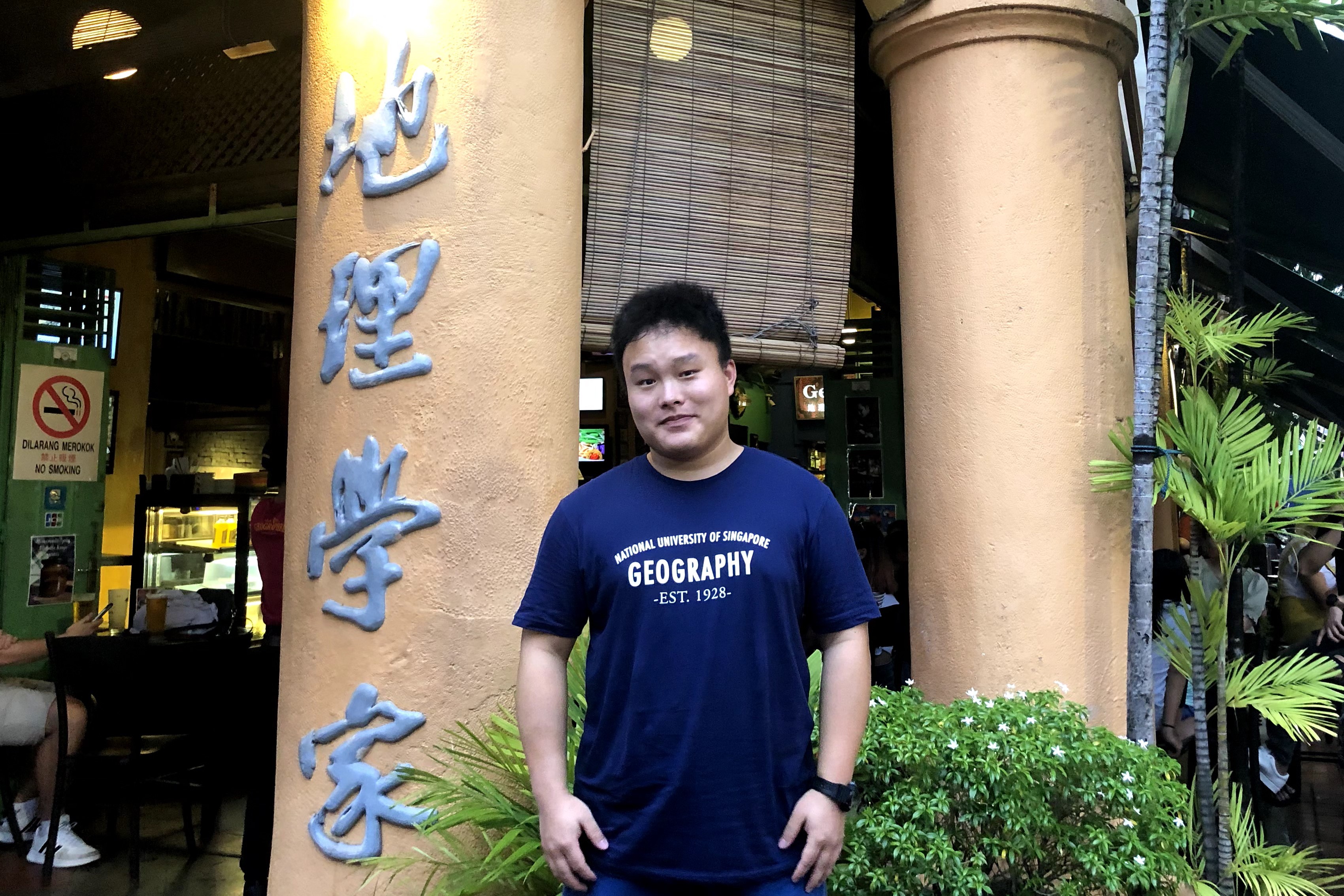
LI Songyang is currently a PhD student at The Hong Kong Polytechnic University (PolyU). His recent research focuses on geospatial application, spatiotemporal image fusion and urban heat island analysis. He also has research interests in vegetation monitoring, smart agriculture and urban-rural development.
Mr. Li obtained a M.Sc. in Applied GIS from National University of Singapore, a M.S. (Agronomy) from Nanjing Agricultural University and a B.S. in Agricultural Information Technology from Yangzhou University.
Mr. Li has working experience as data engineer and project assistant before joining PolyU. He is a certificated System Integration Project Management Engineer in China, a student member of IEEE Geoscience and Remote Sensing Society, and a member of Project Management Institute (PMI). For more information, please visit: www.songyang.li .
- Home
- Projects
- Augmented Teaching and Learning Advancement System
- An integrated knowledge-based Remote Sensing and GIS dynamic model for the urban thermal environment
- A UV-based Remote Sensing Technology For Sulphur Dioxide Detection And Monitoring From Ship Emissions
- A Practical Application of Integrated Micro-Environmental Monitoring System for Construction Sites
- Assessing the Impact of Land Use Morphology on Air Pollution and Human Mobility for COVID-19 Incidence
- Brownfield Classification
- Coastal Water Quality Monitoring in Hong Kong
- Characterization of Asian Dust Storms with Geostationary satellites MTSAT
- Development of AI-based algorithms for classification of tree species and retrieval of tree parameters using handheld laser scanning
- Development of Hyperspectral Library to Distinguish Urban Tree Species in Hong Kong
- Environmental adaptability of settlement
- Estimating Time-series of Anthropogenic Heat Flux at City Scale
- Establishment of Hong Kong AERONET Station
- Estimation of solar irradiation on the urban building rooftop in Hong Kong
- iBeacon Positioning
- Identification of Rock Outcrops Using Remote Sensing Techniques
- Impact of The Super Typhoon Manghkut on The Secondary Forest of Hong Kong
- Jockey Club Smart City Tree Management Project
- Land Use and Land Cover Mapping of Pearl River Delta region and Hong Kong
- LiDAR Technique Helps to Acquire Basic Tree Information
- Machine learning-based estimation of solar potential on three-dimensional urban envelopes
- MOOC Course: Introduction to Urban Geo-Informatics
- Modelling Woody Vegetation in Sudano-Sahe-lina Zone of Nigeria Using Remote Sensing
- Remote Sensing of Forest Succession in Hong Kong's Country Parks
- Remote Sensing of Secondary Vegetation Succession in Hong Kong's Country Parks
- Road Defect Detection Using Deep Learning Method
- Solar Energy Supply in Cloud-prone Areas of Hong Kong
- Tree Thermal Image
- 70 Years of Forest Succession in the Degraded Tropical Landscape of Hong Kong
- People
- Contact Us