-
Project Details
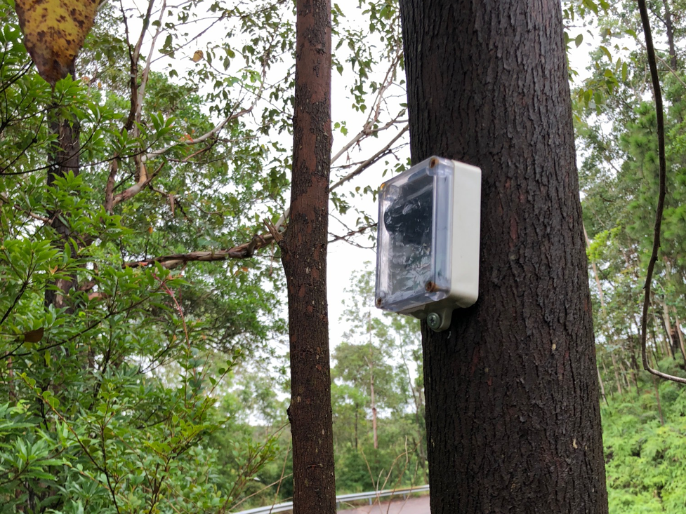
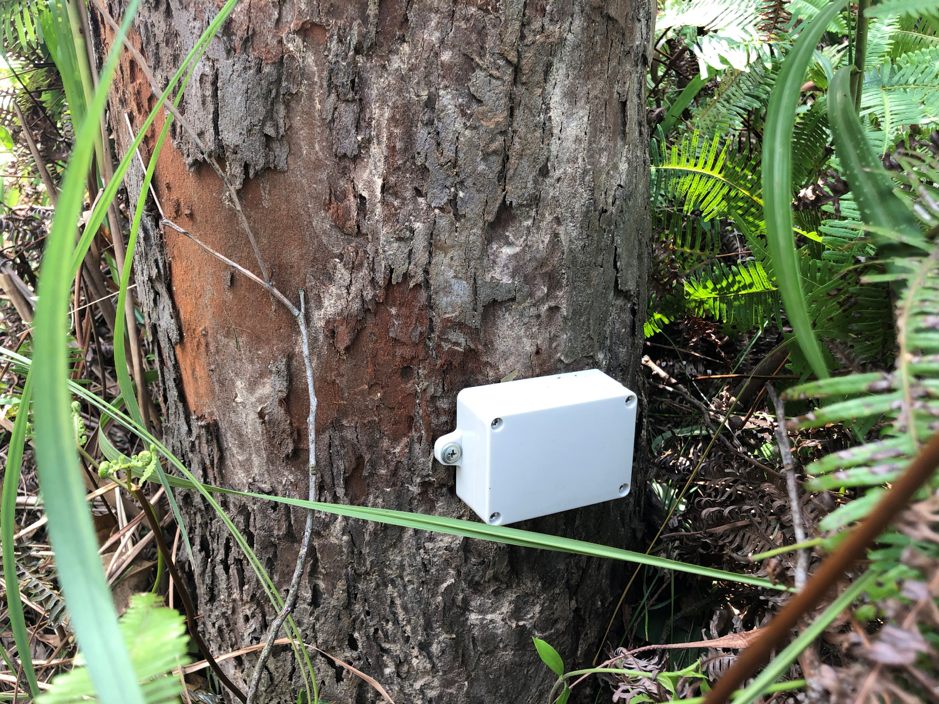
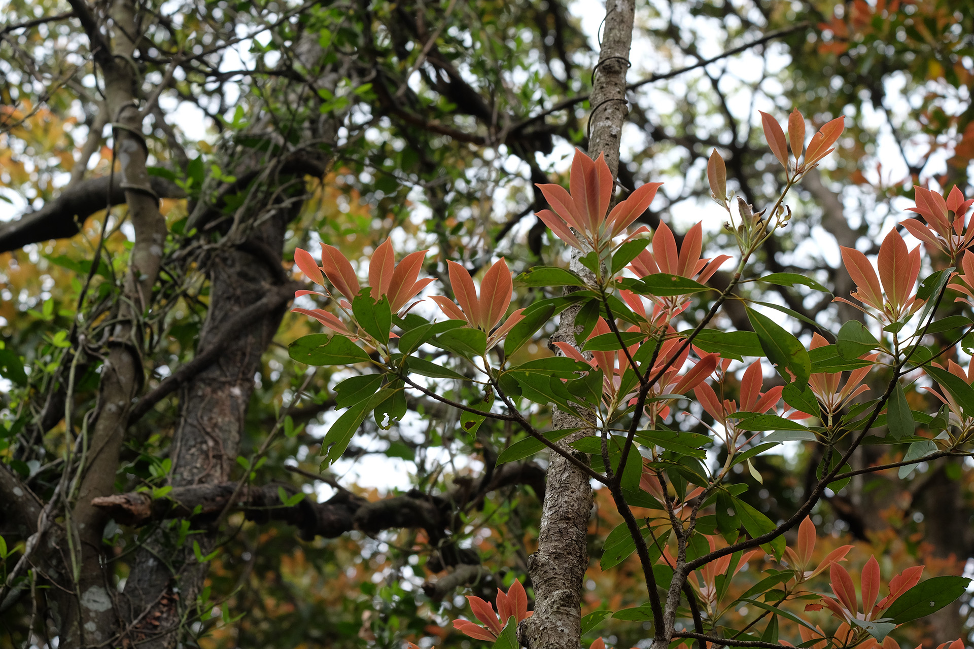
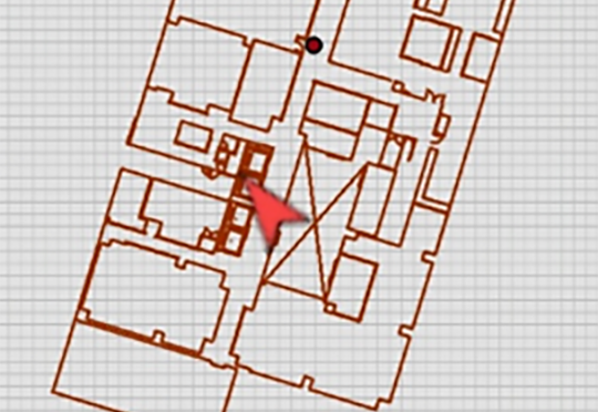
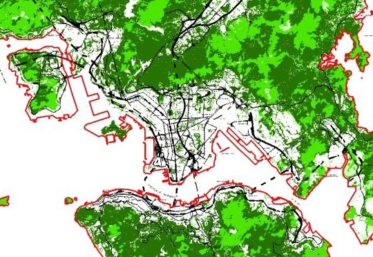
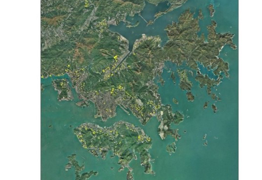
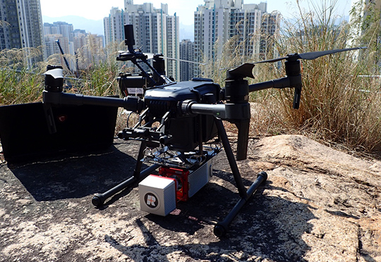
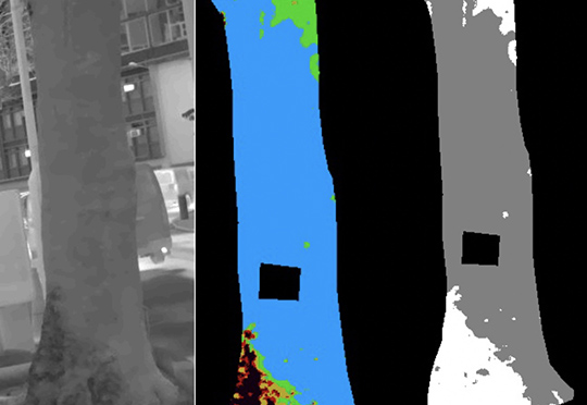
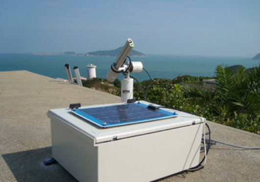
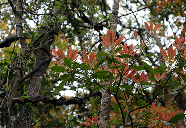
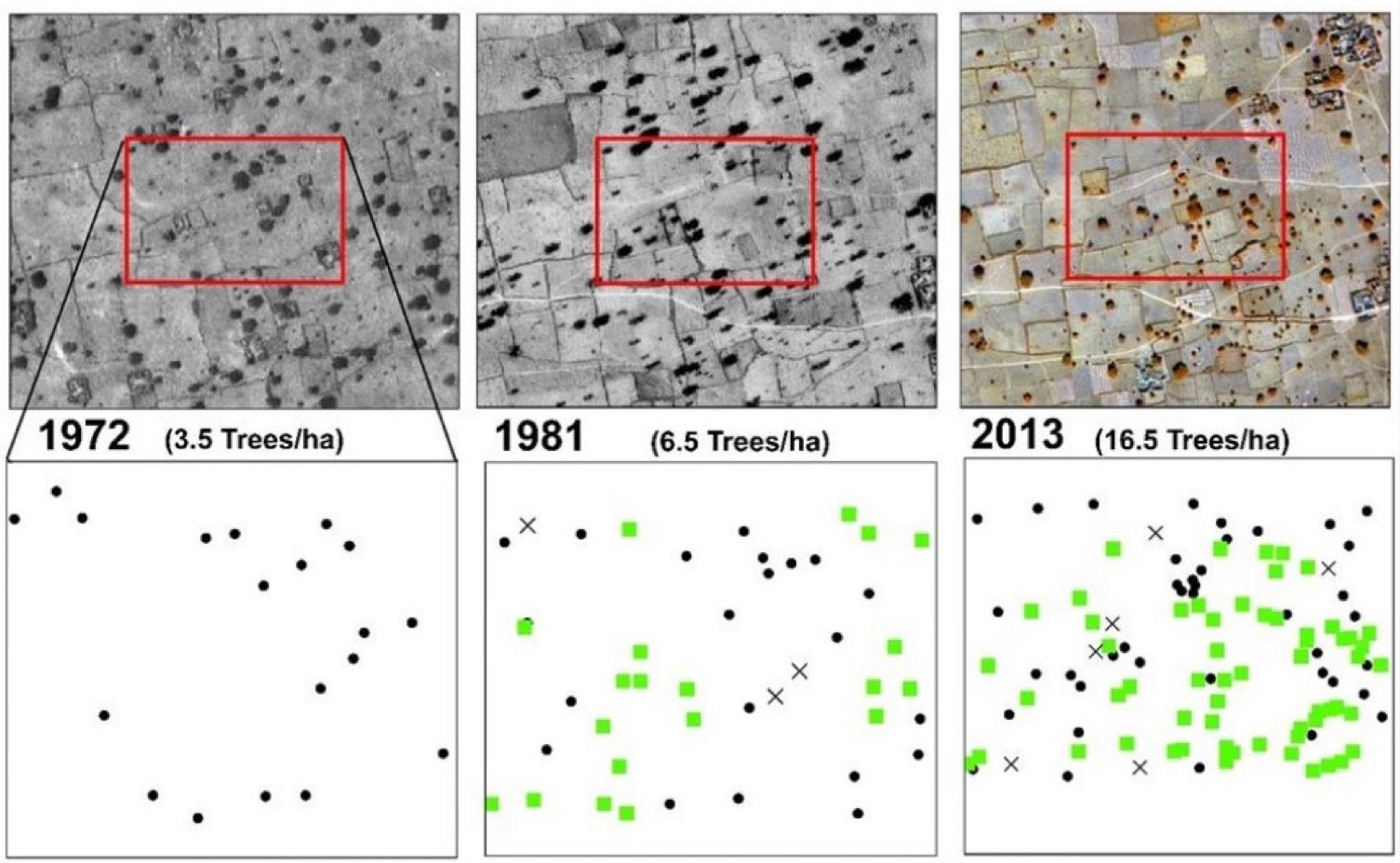
Commenced in February 2018, the 3-year pilot Project is supported by The Hong Kong Jockey Club Charities Trust with a funding of $32.28 million. Aiming at sustaining a longer tree life by enhancing the efficiency of tree management, it is a large-scale pilot project on trees in the urban area that uses a quantifiable method to identify trees with potential needs for follow-up actions. With tailor-made sensors installed on the lower trunk of approximately 400 selected urban trees in two pilot sites with high traffic and pedestrian flow: Kowloon East and Wan Chai, it aims to monitor their tilting angles over time using Smart Sensing Technology (SST). The trees from 9 vulnerable species at risk of tree failure with different tree forms are selected for monitoring, e.g. Bauhinia variegata, Delonix regia, Senna siamea, Aleurites moluccana.
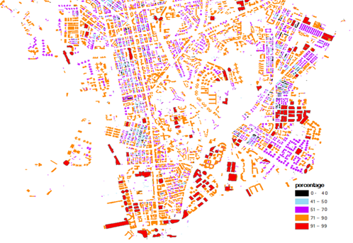
Taking various environmental factors into consideration, a threshold will be determined by the project team to measure the root-plate movement. If a sensor shows that the tilting angle of a tree exceeds the threshold, the system will notify the project team to conduct a visit, verify the data and calibrate the system. When deemed necessary, the relevant tree management team will be informed to conduct detailed investigations in a timely manner. In the second phase, SST sensors will be installed at over 8,000 trees across the entire city in Hong Kong. The Project will also collect data from the sensors and will develop a system via a GIS-based platform.
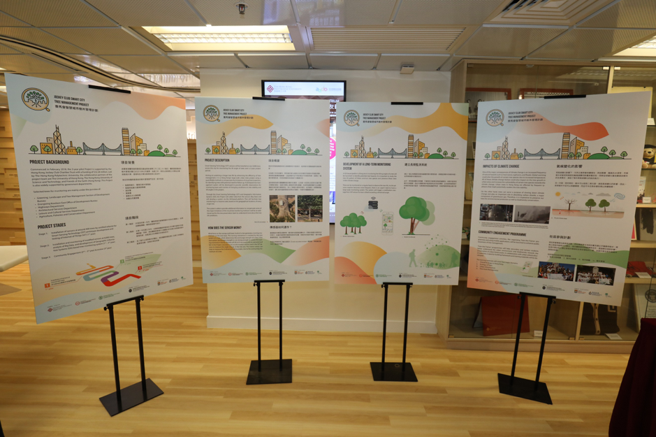
The GIS-based tree monitoring system will provide an additional tool for the tree management team to provide scientific observations on the changing conditions of tree tilts, which will facilitate a massive-scale monitoring of individual trees based on their corresponding geographical locations. The Project mainly divides into three stages:
Stage 1: Design and testing of sensors & testing of the Internet of Things (IoT) (1st year)
Stage 2: Installation and monitoring of modified sensors in 8,000 trees, analysis of Big Data, and development of tree monitoring system (1st – 3rd year)
Stage 3: Community Engagement (2nd – 3rd year) & Review (3rd year)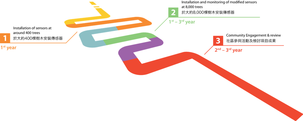
Members of the PolyU-led Project team include The University of Hong Kong (HKU), The Hong Kong University of Science and Technology (HKUST), and Friends of the Earth (Hong Kong). The project also receives support from relevant government departments. Selected trees for monitoring are mainly under the purview of:
• Greening, Landscape and Tree Management Section of Development Bureau;
• Energizing Kowloon East Office of Development Bureau;
• Agriculture, Fisheries and Conservation Department;
• Architectural Services Department;
• Highways Department; and
• Leisure and Cultural Services Department.
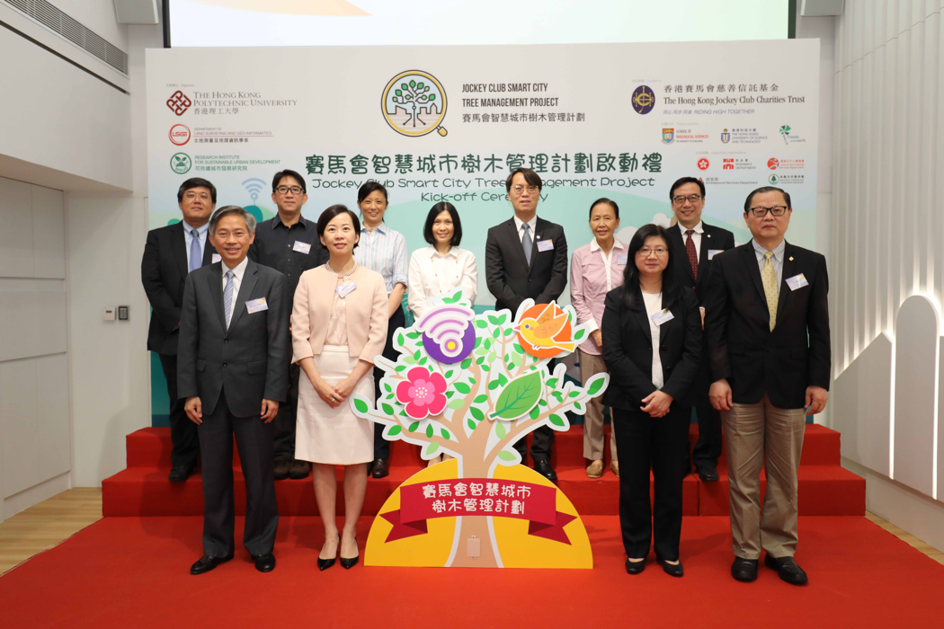
Jockey Club Smart City Tree Management Project
Commenced in February 2018, the 3-year pilot Project is supported by The Hong Kong Jockey Club Charities Trust with a funding of $32.28 million. Aiming at sustaining a longer tree life by enhancing the efficiency of tree management, it is a large-scale pilot project on trees in the urban area that uses a quantifiable method for identifying trees with potential needs for follow-up actions.


